Why in the world would I want to explore Fremont Island?
It just looks like a dirt mound in the middle of Great Salt Lake.
Great Salt Lake and her islands call to me. Fremont Island is the third largest island on our lake, and I have been to the other two, so it was only natural for me to long for an adventure to Fremont island.
Many questions entered my head this chilly March morning as I was about to head out to Fremont Island to photograph and document the island and Great Salt Lake.
Would I be able to capture images for my website, and for my clients who love Great Salt Lake?
Would I be able to hike to Castle Rock?
Would the images I capture help spur more people to care for our lake?
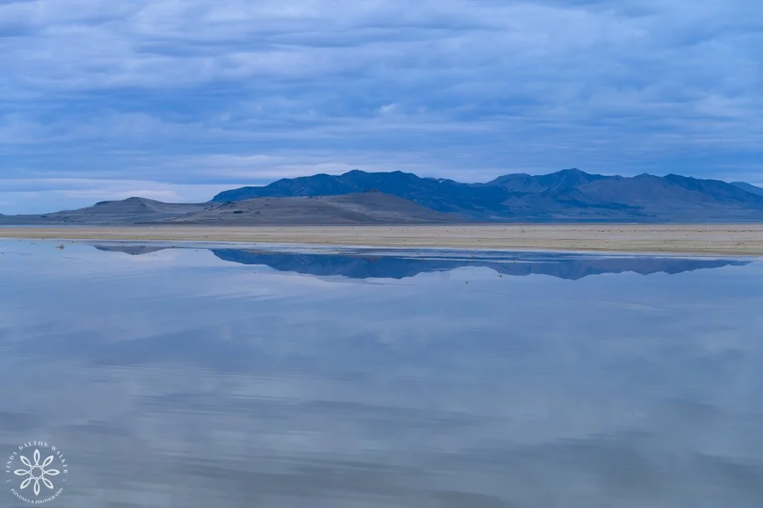
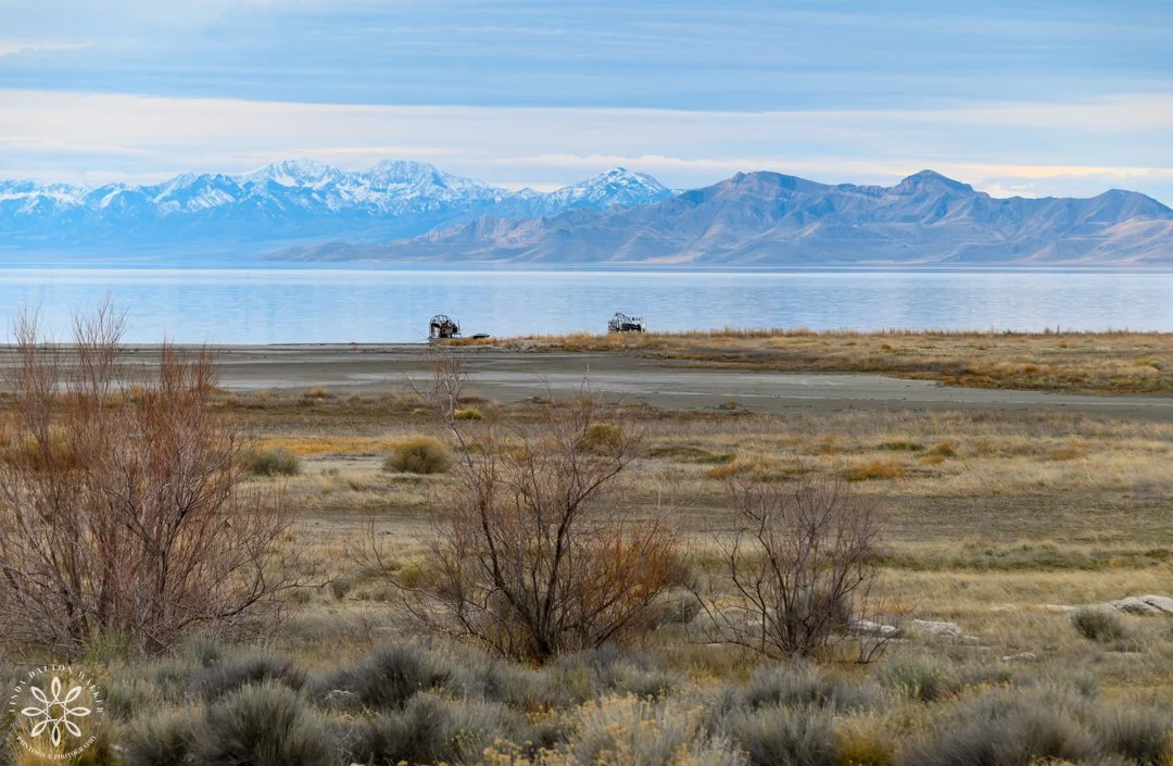
Fremont Island, with sandbar in front, taken from an airboat. (Website Link)
Dale Morgan, who wrote The Great Salt Lake, states in his book that there are 13 islands in this saline lake, but of course that is when the lake is full, and it hasn’t been that way for awhile.

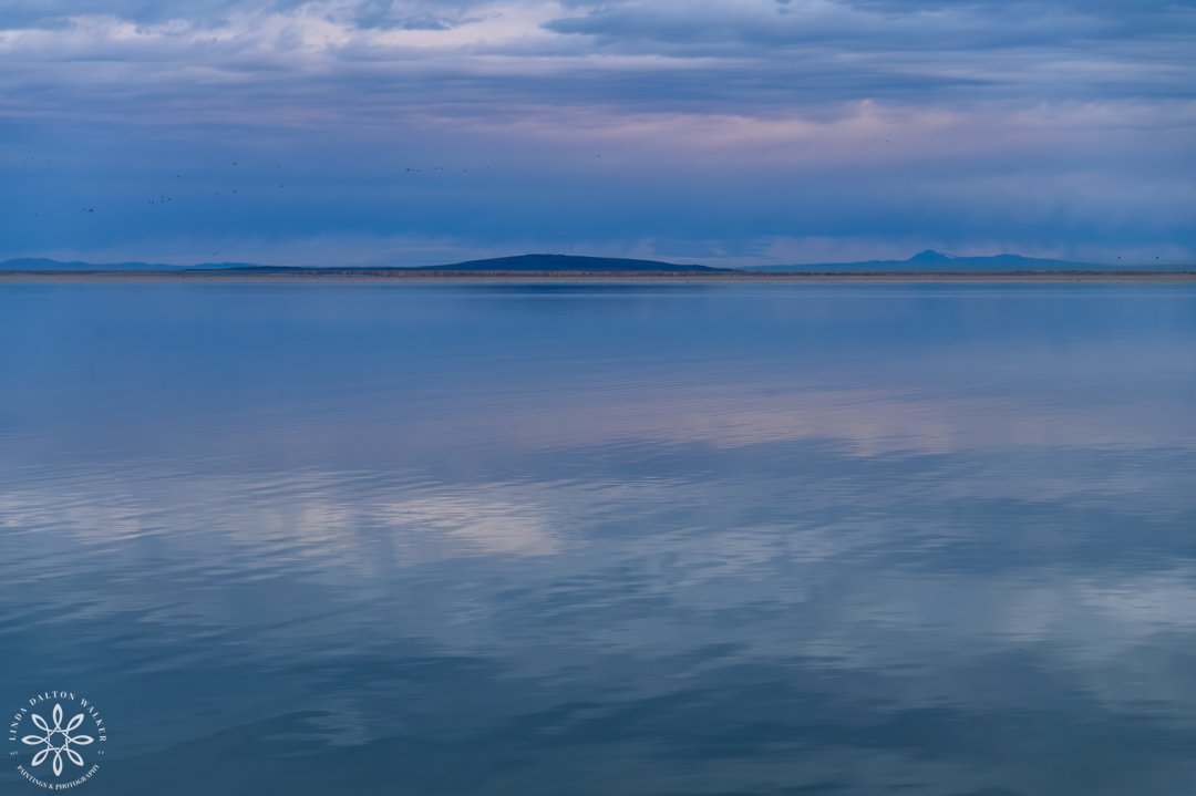
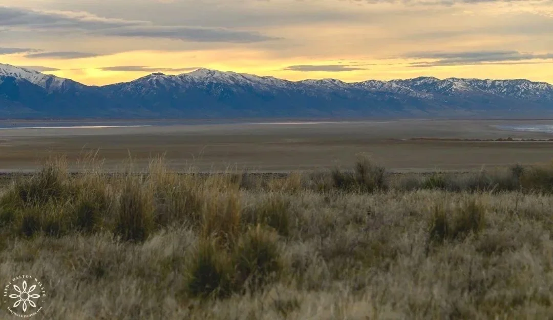
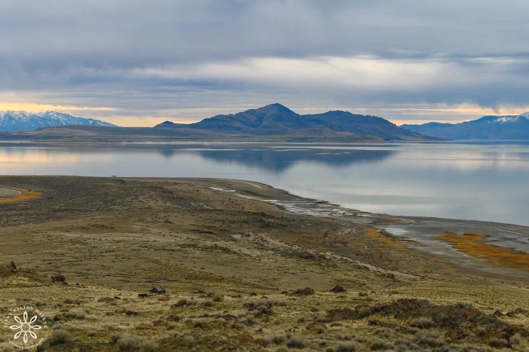
Glorious sunrise looking towards the Wasatch Mountains
The sun burst into a magnificent sunrise over Great Salt Lake, and my heart welled, thinking of the day ahead. It was a good sign that the day was going to be more than I had expected.
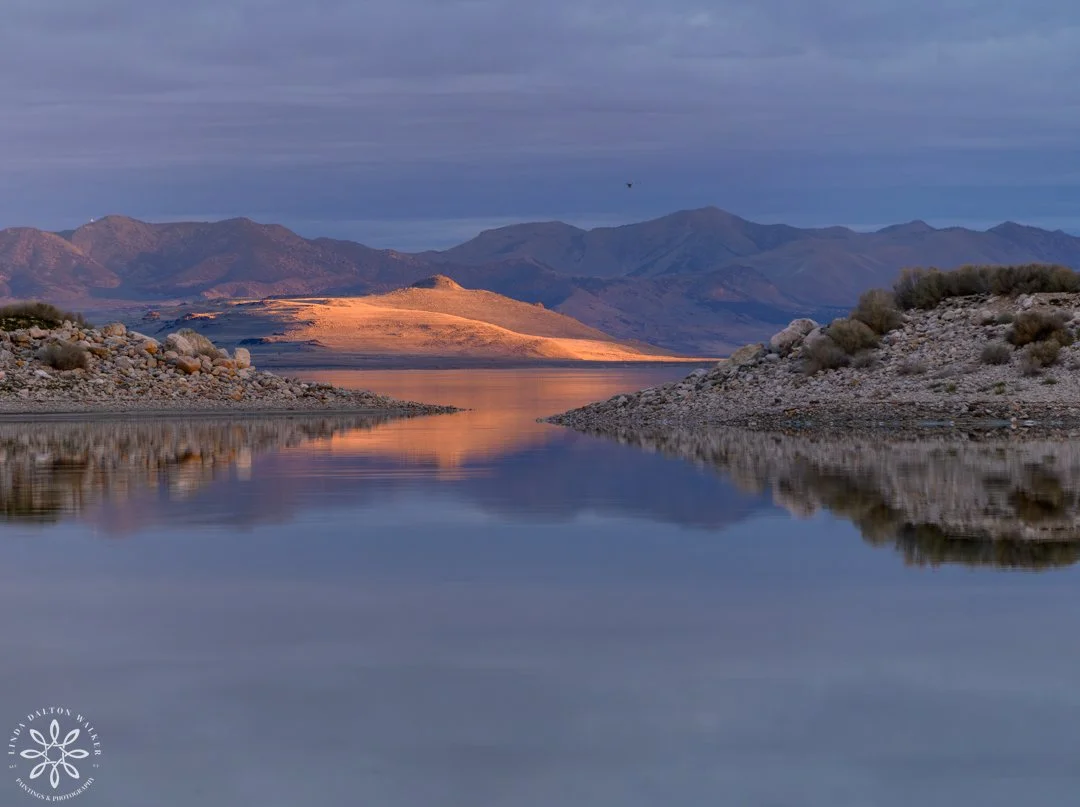
Fremont Island lit up - early morning sunrise.
Fremont Island, Early Dawn
Then magically, the sun lit up Fremont Island, and displayed the island where we were headed. I could see Castle Rock at the very top calling to me. I was captivated.
In Dale’s book he wrote a full section about Kate and Judge Wenner and how they purchased this island in the late 1800's and lived there for five years with their three children. His book helped spur my imagination about this spectacular place.
View from Airboat on Great Salt Lake.
Photographing From an Airboat
It’s a challenge at best to photograph from a moving boat, and hold onto gear, so I wouldn’t lose it to the salty water below. I use a harness system where I can lock on my camera, yet still have the ability to take photos such as this without the risk of losing my camera. This serene piece would look lovely in any home.
Sandbar leading from Fremont Island to Antelope Island.
Currently, the island is owned by the state of Utah and is managed by the Nature Conservancy, and so because of this there:
is no livestock
no camping (darn)
and no motorized vehicles allowed
One can only access the island:
If they want to brave a hike out the 12-18 mile round trip on the muddy sandbar, which is now visible because of the low lake level. I always try to visualize this area filled with water, and how incredible it must have looked. I hope to see the sandbar covered with water in my lifetime.
Or, one could mountain bike with wide tires across the bar.
Or even still if you can get out there by boat - my preference.
Hiking or biking on the sandbar comes with the hazardous risk of sinking into quicksand, and not being able to get out. It just depends on how much risk you want to take, but that was not for me. Website link to similar image.
With the airboats left behind, we began our exploration of the island - like adventurers exploring new uncharted land.
For me, I took an airboat out to the island with a small group of friends, so we could photograph and see just what the intrigue of this island held. The airboat ride out was thrilling and very cold. I wore four layers and a knit cap, but it still wasn’t enough. Luckily the trip was short.
(Special surprise towards the end - so be sure to read all the way through - no peeking)
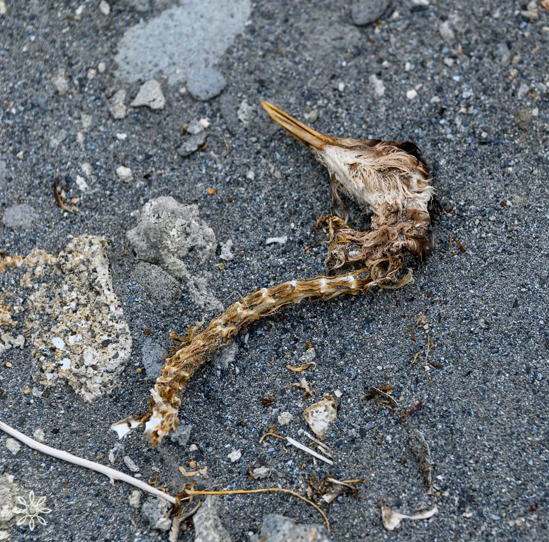
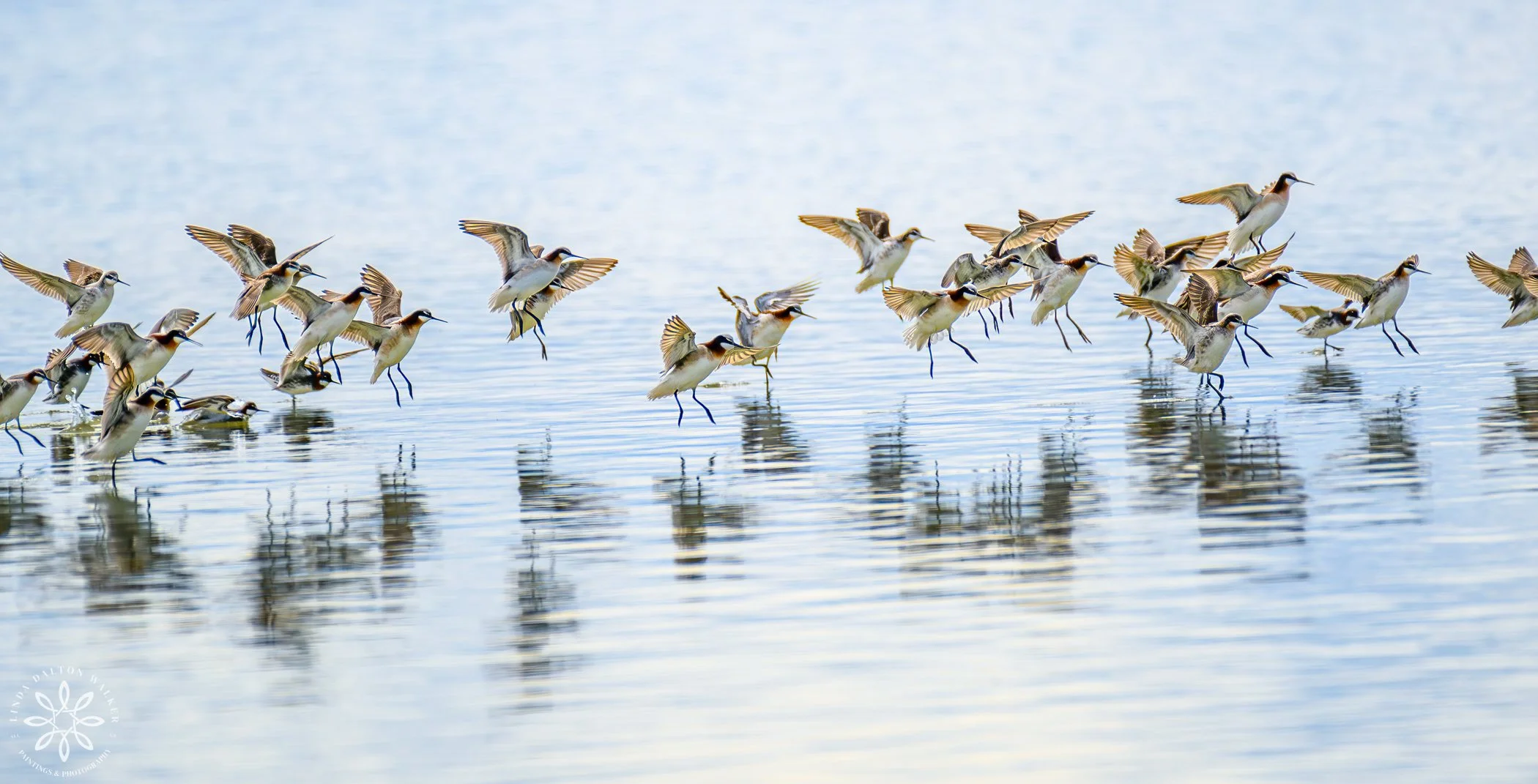
Grebe (possibly an Eared Grebe)
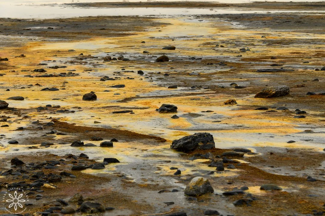
As we set foot on the island, we were greeted by a recessed shoreline filled with mud, and a scattering of dead grebes - more than likely from the Avian Flu, which is currently taking the lives of lots of birds around Great Salt Lake.
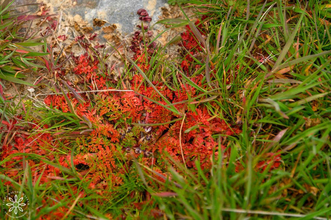
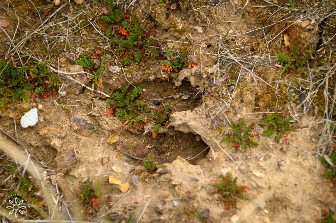
Surprise Findings on Fremont Island
As we started our journey uphill, we were greeted with:
Greenery,
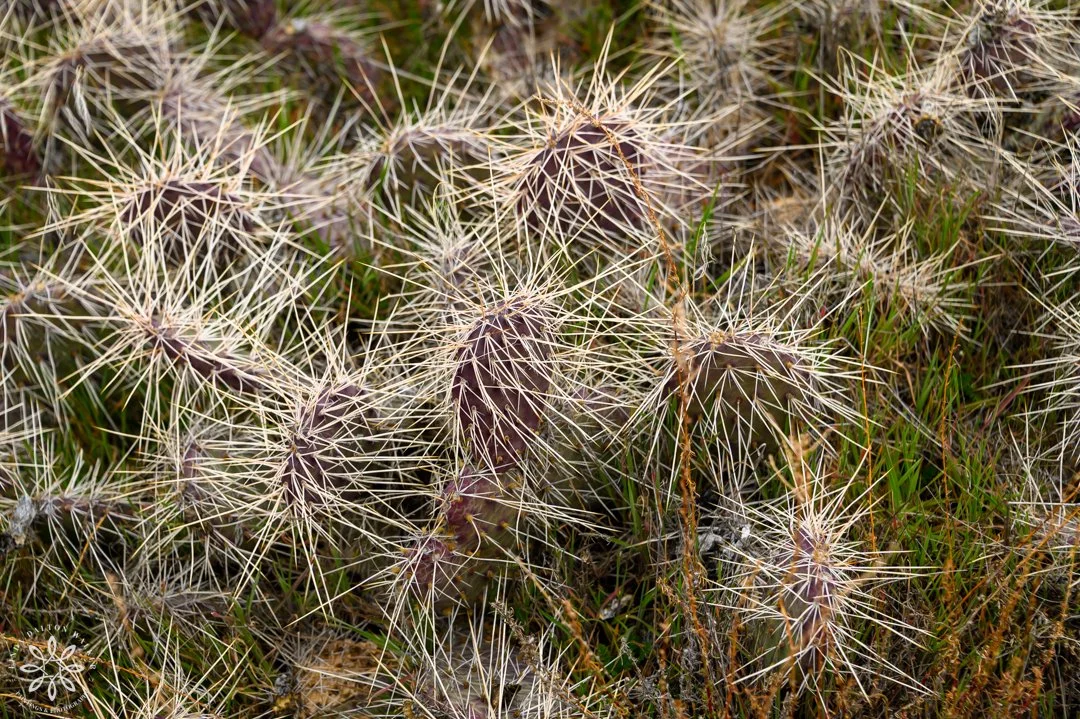
Cactus,
Lots of very small magenta flowers,
Sage brush,
And other plants covering the ground
AND…ancient metaphoric rocks all tumbled together and just peeking through the foliage.
I watched the ground a bit closer after seeing the very sharp and spiny cactus. The red plants were scattered throughout the lower sections of the island. Anyone know what they are? And a wrapped up heart-shaped metamorphic rock - wow.
Already, the images I was capturing were satisfying what I set out to do.
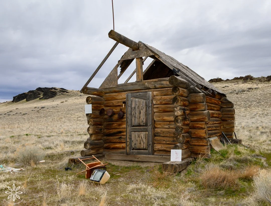
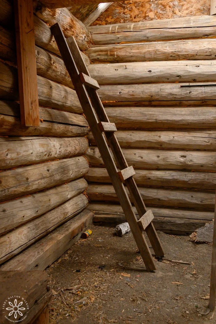
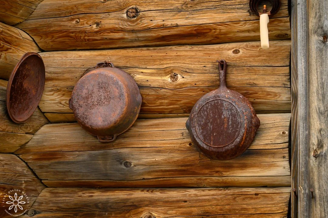

Barrow Cabin.
Our first destination was uphill to a cabin which was owned by the Barrow Cattle Company who leased the island, and Justin and his dad operated it until they were evicted around 2012 - 2015, when a wild Russian Boar they had brought in escaped and walked across the sandbar ending up on the Antelope Island Causeway. Just imagine seeing that cross the road. They are enormous and carry disease.
Russian Boar Tracks
While we were walking around, we saw tracks from a boar, so they are still out there, even though they were all supposed to be removed. We were glad we didn’t encounter any on this particular day. But, I have to say, I wished I would have seen one from a safe photographic distance.

Wenner’s Headstone
Next, we visited the Wenner’s headstone, and it was a gentle moment for me as I recalled the story I read about their joyful life on the island. I always wonder how our Great Salt Lake would have looked back then.

Up the “Less Strenuous Path.”
From there our goal was to make it to Castle Rock where there is a cross on a rock painted by Kit Carson.
We took the longer “less strenuous path.”
There wasn’t a trail.
We were walking through the rocks and brush…
Zigzagging up very steep hills.
I was carrying a 20+ lb pack with my other camera and long lens,
While hand holding another camera as I walked.
The things I put myself through to capture an image… all worth it. 100%.

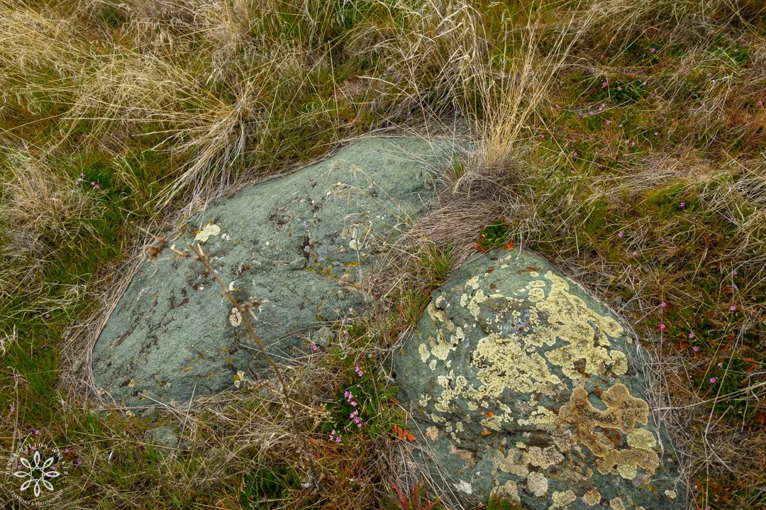
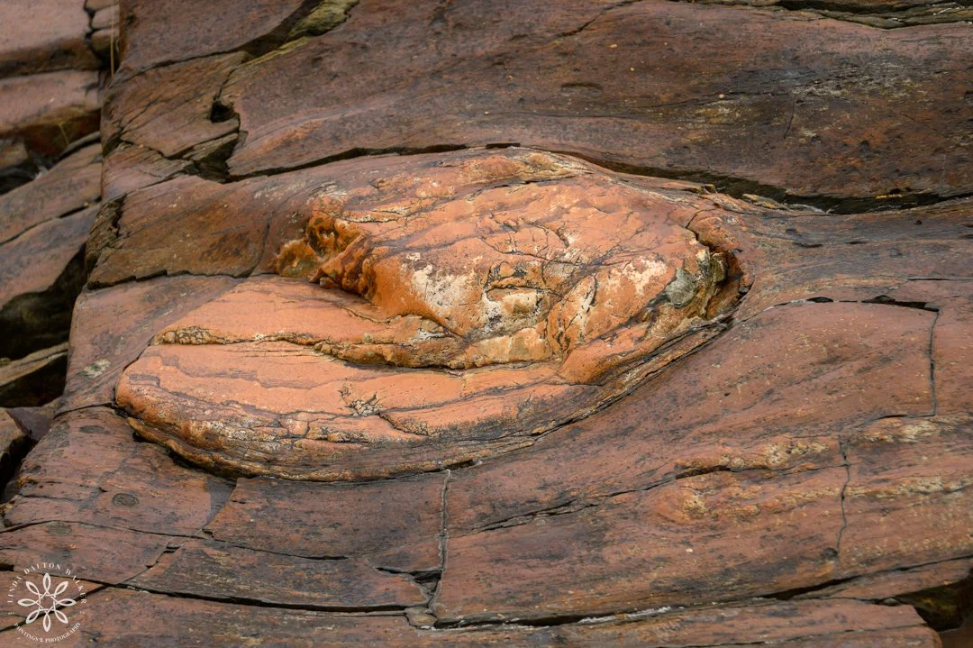
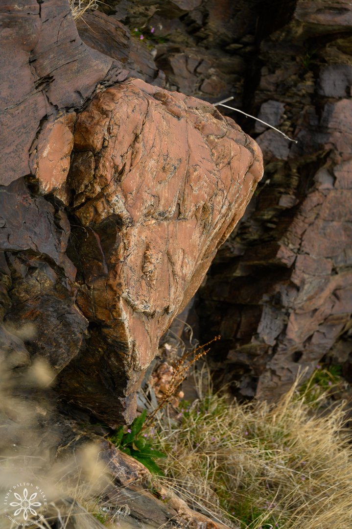
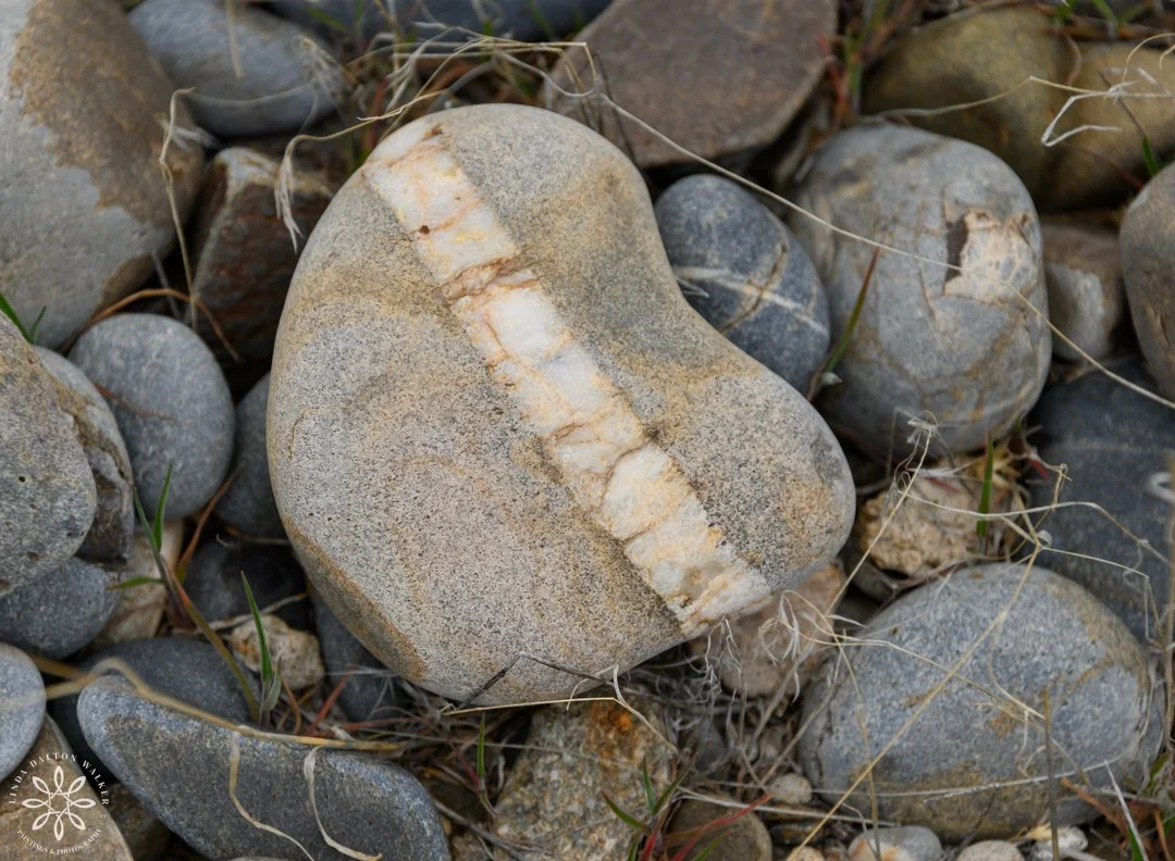
Rocks and Plant Life On Fremont Island
Our attention was also drawn to some rock that was high in copper, hence the green color.
We also swooned over some highly textured rock. Who else gets stuck looking at texture in nature? It’s tough to pull me away.
The lighter colored, pinkish rocks are metamorphic rock from Montana - the only location where this rock is from.
It was possibly transported to this island with the movement of a glacier long ago.
I just love this little vignette of images, and think they would make a lovely grouping on a nature (rock) lover's wall.. There I wrote love three times because we all need more love.
As we climbed higher and higher, I would keep turning around to take in the view behind us, and I would be blown away by the intense beauty.
I was also saddened at the same time by the lack of water and how far back Great Salt Lake has receded.
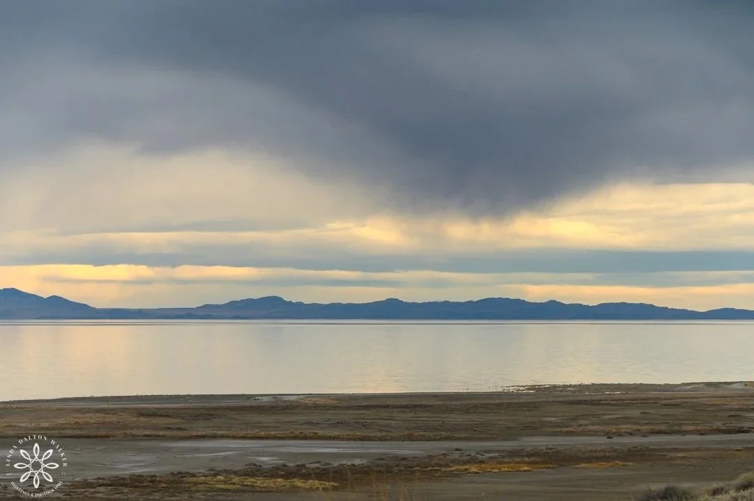
The clouds were becoming threatening, and the wind started to pick up, so two of the airboat drivers pushed ahead on our hike.
Wouldn’t this make an awesome image enlarged? The quiet of GSL with rain clouds looming above.

Another view behind us, and another image I think would be fantastic enlarged. Just a smattering of water in our lovely Great Salt Lake. Heartbreaking a stunning at the same moment.
Looking back at Antelope Island.
Antelope Island In the Distance
This is a view I never thought I would see. Many times over the thirty plus years I’ve been painting and photographing nature and Great Salt Lake, and it was always Antelope Island from the south shore. On this day I had the outstanding opportunity to see the island from the north, and with those clouds, pure heaven.
I am so drawn to the softness of this image, and so happy it wasn’t a stark sunny day.

The airstrip and path leading to Castle Rock.
Fremont Island Airstrip
Soon the non-path turned into a path where small airplanes land and take off, and we looked up at the very steep path ahead of us.
I kept telling myself not to look up, but to just keep walking.
The two airboat drivers, who left ahead of us, did not quite make it to Castle Rock, and just as we were just starting our “final” climb, they were on their way back down. They cautioned us not to try it because we didn’t have time and neither did they. It had taken them an hour to hike to the base and they estimated they sill had half an hour to go before they reached the top. At that point we were then about half way to Castle Rock and with the wind picking up, we had to head back - airboats do not do well in wind. They also explained how steep it was. I was sad to have to turn around, but I was getting pretty tired by that point. So, Castle Rock will have to wait, but at least I made it this far.
For those of you who are intrigued with Castle Rock or leading lines, this would make an incredible image for your wall.
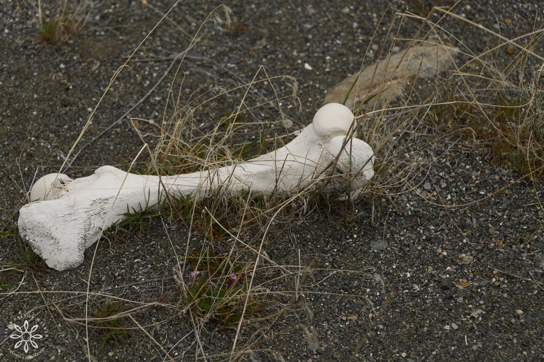
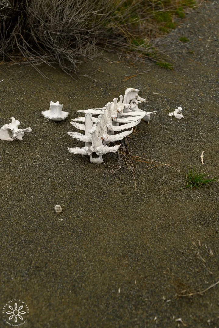
Our Journey Back On Fremont Island
As we walked through the brush, and rocks, zigzagging around drop-offs, with the spectacular view of Great Salt Lake in front of us, we would occasionally find old bleached bones from animal remains.
Prior to this point our paths diverged:
The airboat drivers started back down a different, quicker direction, so they could get to the airboats and bring them around to where we were to meet them.
We were to walk down a steep circle valley and meet them at the water’s edge.
However, it took us much longer than we anticipated, each step felt as if we were walking backwards. If Great Salt Lake were at her normal high, our hike out would have been much shorter.
Two days after the hike, my quads are still talking to me about all of the downhill.

Airboats to the “rescue” south-eastern shore of Fremont Island.
Airboats on Fremont Island
As we neared the shore, we realized the airboats were not going to be able to pull into where we were headed because of the quarter-mile muddy shore. We were hiking where Great Salt Lake should have been.
We detoured towards a small outcropping of rock that was next to the water.
As we neared, they pulled into view, and we signaled them with our hiking poles, although I’m sure we stood out like sore thumbs.
AND FOR THE FINAL SURPRISE: Website Link
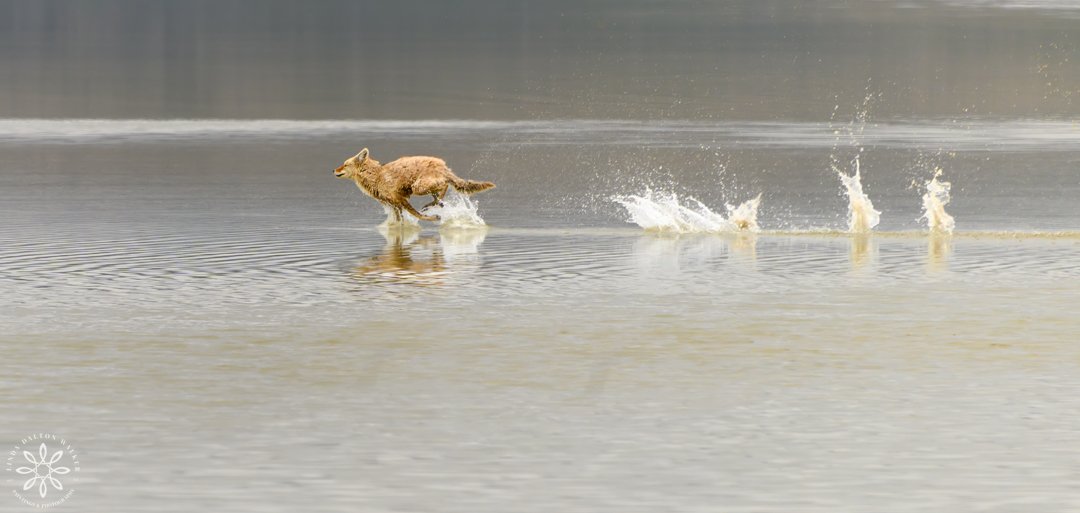
Running Coyote on Great Salt Lake
During our return trip we spotted a coyote running across the shallow water, who upon spotting us, started into a swift run right in front of us. Luckily, I had my camera out, had my settings ready, and was able to capture some images I am thrilled about. This coyote was out hunting, which just displays even more how shallow our Great Salt Lake has become.
Shots I dream about as a wildlife photographer.
Perfect image for coyote and wildlife lovers. I’m still grinning over the captures I was able to get while on a moving boat..
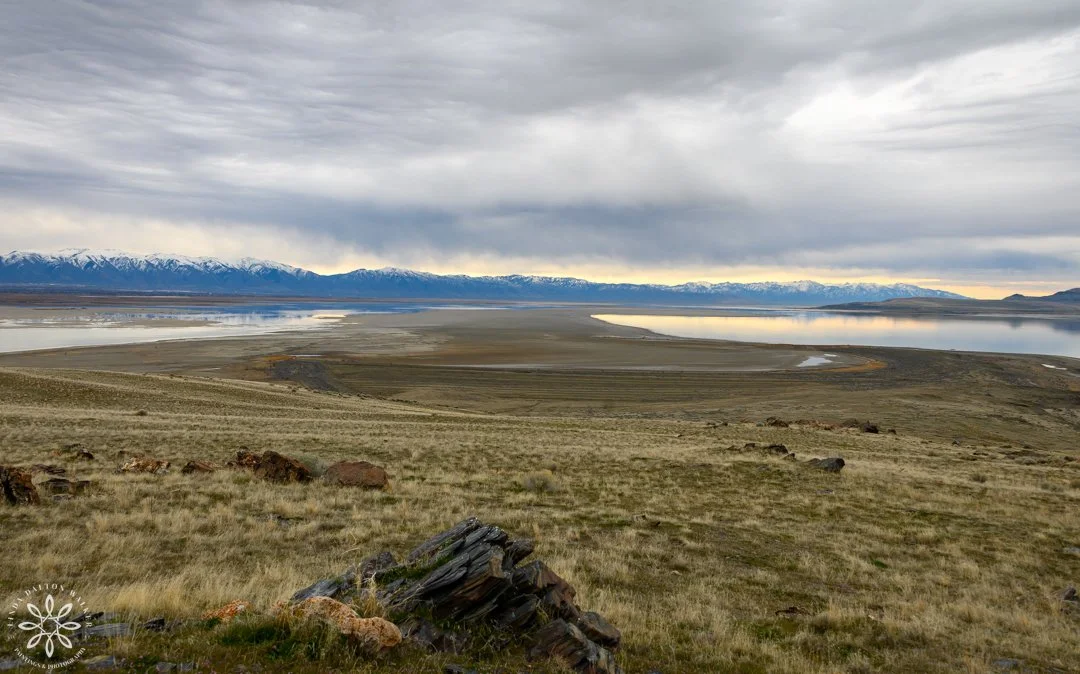
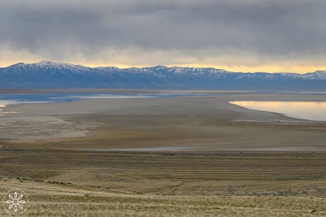
Image of sandbar circling around to Antelope Island Causeway from Fremont Island.
FINAL WORDS
This trip to Fremont Island was a dream come true for me, and it just helps solidify why I keep trying to create awareness surrounding Great Salt Lake.
I met ⅔ of my goals I had set:
Photographs for my website (and for you.)
Documenting Fremont Island to help bring more awareness to Great Salt Lake. Each time I go out to photograph our beautiful Saline Sea, I am heartbroken, saddened by how far back her shores have receded. Islands, no longer islands. A fragile ecosystem calling out for help, and wondering if we are listening. Will we be able to save her before it is too late?
But, I did not make it to Castle Rock. However, I have a feeling I will be able to do it in the future.
As you can tell, I came away with so many images that bring me joy and sadness, and I can’t wait to get them on my website. If you are interested in any of the images in this blog - please contact me here, and I’ll be happy to help you select one for your home. I also have so many more I can share with you.
Thank you for reading along and supporting my conservation efforts surrounding Great Salt Lake and her birds.
Upcoming exhibit:
Red Butte Garden, SLC.
Reception: September 12, 2026.
Thank you for supporting my conservation efforts. Let’s do what we can to help save our Great Salt Lake. Linda Dalton Walker
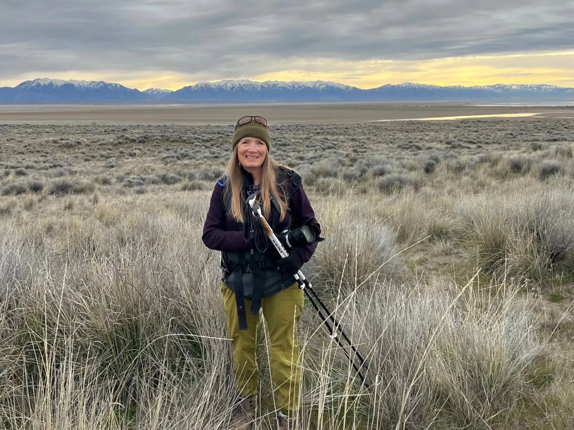
Image credit: Sue Halligan
“Every pilgrimage to the desert is a pilgrimage to the self. There is no place to hide and so we are found.” - Terry Tempest Williams
Other Great Salt Lake Images can be found HERE.